INTRODUCTION

Since early times we humans have sought to understand and document the lands in which we live and travel.  Whether this has been through simple etchings on rocks, cave paintings, markers such as milestones and signposts or the drawing of complex maps, navigational aids have long formed a vital part of humankind's relationship to the land.
In the 20th century, Britain's national mapping agency, Ordnance Survey, created a system of numbered gridlines, 1km apart, criss-crossing the entire country from north to south and from east to west.  Despite more recent innovations in the digital age, these gridlines are still in popular use for precisely specifying locations anywhere from the Scily Isles in the south west to the tip of Shetland in the north east.
Crossing the Lines is a project to make photographs at locations close to my home in West Kirby where the OS gridlines intersect. The red dots on the map below show the locations of the images so far completed.
All photographs were taken using a Lensbaby Trio lens to give the soft focus and blur effects seen in the images.
In the course of this project I have gone to places virtually on my doorstep that I didn't know existed.  I have learned about places of which I previously knew nothing and I have taken photographs of places that I would never have thought justified getting my camera out of its bag.  It has been tremendously rewarding and I plan to slowly extend my reach further eastwards across the Wirral.

​​​​​​​
THE IMAGES

Scrolling down the page, images are ordered from east to west and then south to north in accordance with the Ordnance Survey grid numbering system. 

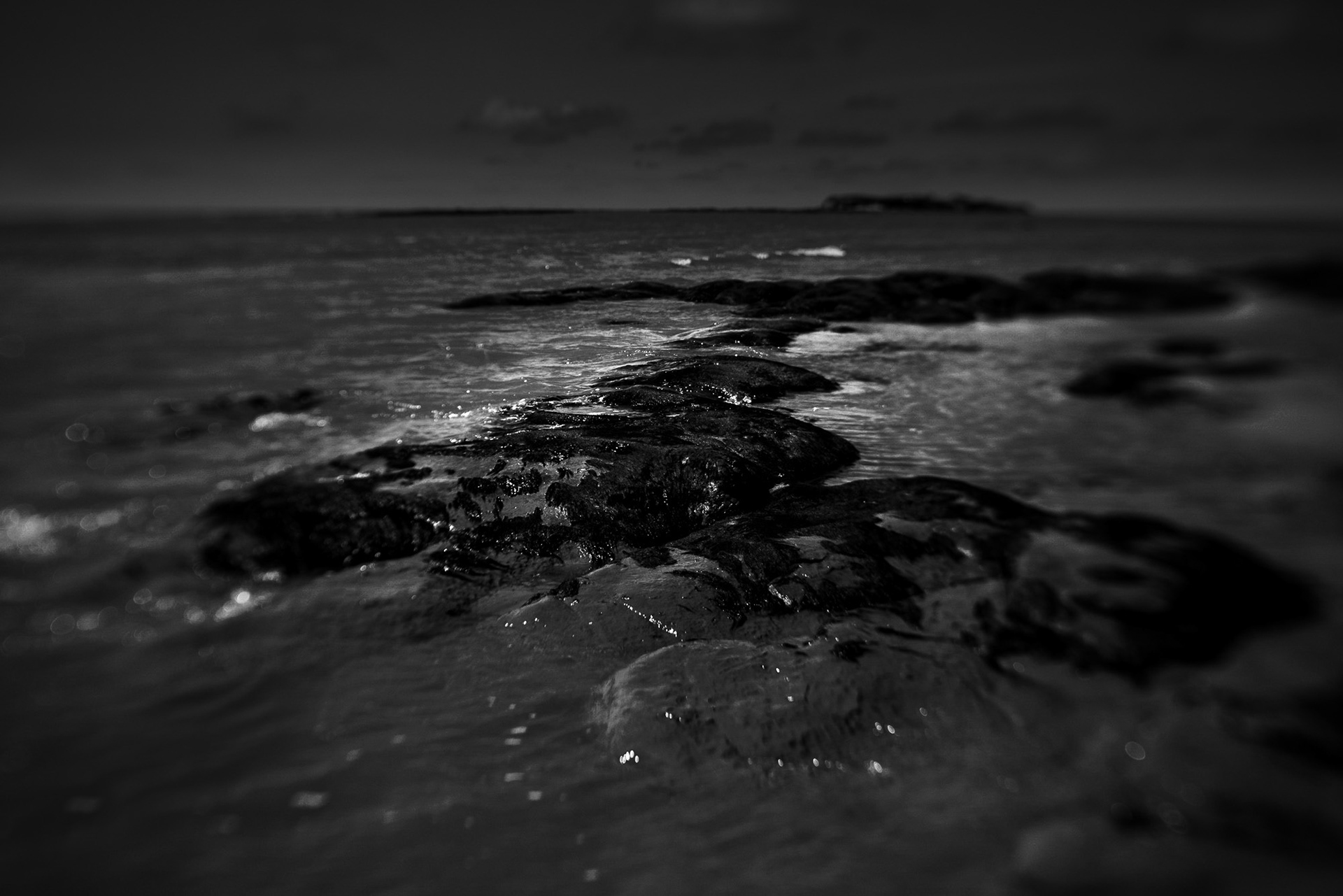
SJ 190 870 - Between the islands

Off shore from West Kirby lie three tidal islands; Hilbre Island, Middle Eye and Little Eye (which get their names from the Norwegian word for island; øy).  The islands can be reached on foot at low tide.  Between Little Eye and Middle Eye lies a long chain of sandstone rocks that barely protrude above the sand.  When the tide is partly in or out the sea swirls around them in an attractive but fleeting transition state of wet and dry, solid and liquid.  Many of the rocks are covered by a dark seaweed which, whilst being no expert, I believe to be called Knotted Wrack. If you know otherwise, please let me know via my contact page - thank you. 

SJ 200 860 - Beyond Tanskey's Rocks

To the south of Little Eye lie another group of low-lying rocks; Tanskey's Rocks which can be found out to sea beyond the Marine Lake.  As with the location of the previous image, the area is exposed at low tide.  Looking roughly northwards, Hilbre Island can be seen in the distance to the left of the image centre and Hoylake in the distance to the right.  When the tide recedes, as it was doing here, it often leaves a highly reflective band of wet sand that can be very picturesque under certain light.   Tanskey's Rocks, which are now almost covered in sand because of silting up of the Dee estuary, were used as a sheltered mooring by the Vikings who gave the rocks their name.

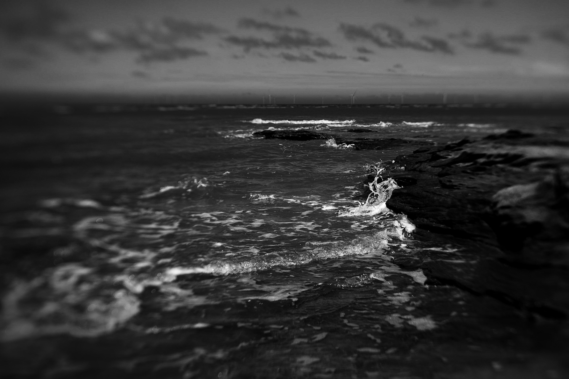
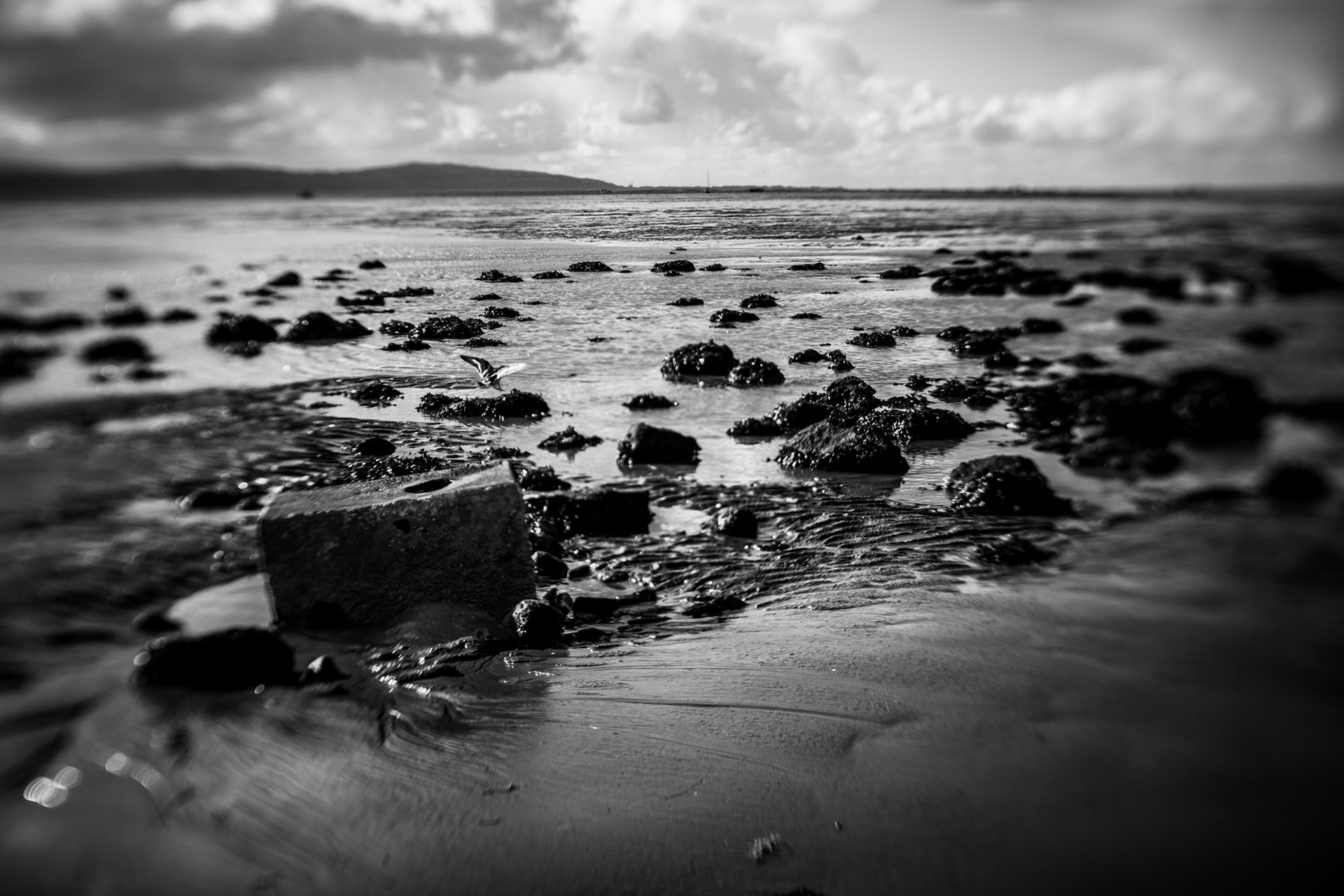
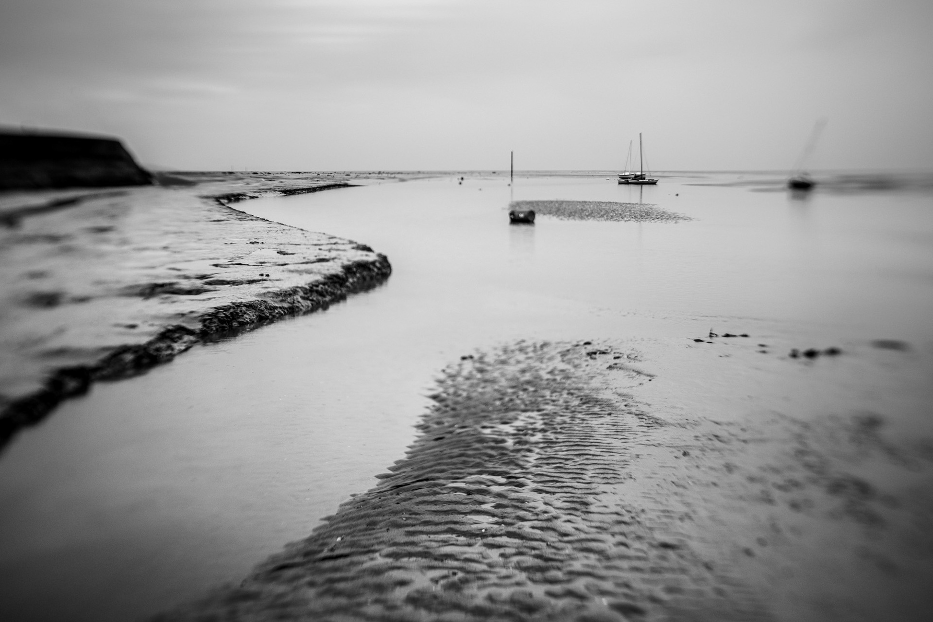
SJ 200 870 - near Little Eye

Another image taken out on the sands, this time with an incoming tide.  SJ 200 870 lies slightly north east of Little Eye and this image looks north west towards Hilbre Island and Middle Eye.  Although from this viewpoint it looks as if the two islands are joined, there is, in fact, some 250m between them.  Because of the flat sands, and the fact that the Dee estuary has one of the largest intertidal ranges in the UK,  the incoming tide can often advance at a slow walking pace.

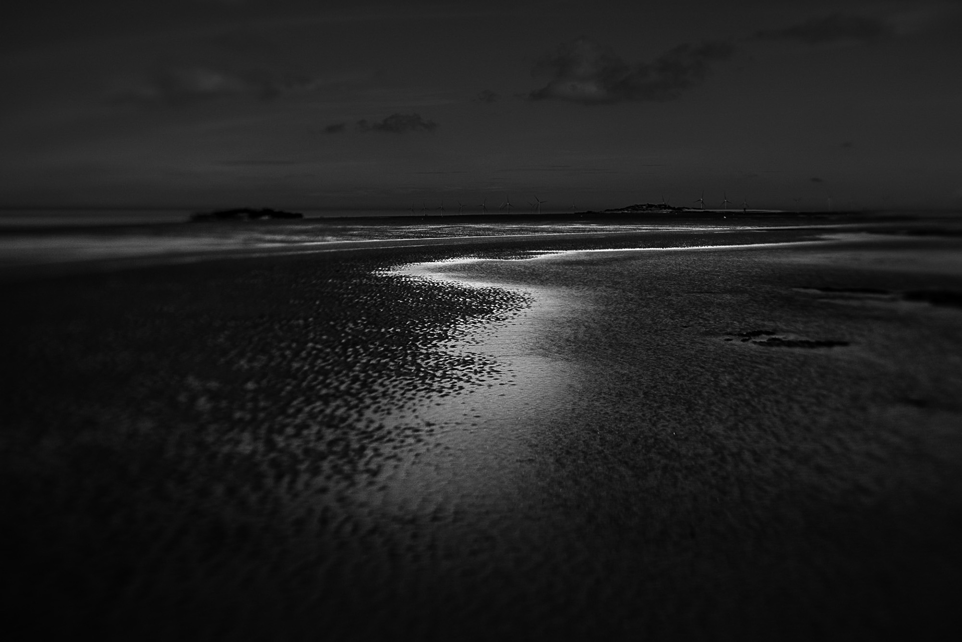
SJ  200 890 - Red Rocks

SJ 200 890 is located offshore slightly to the north or Red Rocks in Hoylake.  Red Rocks is a group of red sandstone rocks (hence the name) that are usually partly or wholly covered at high tide and this image was taken as the tide was coming in, beginning to cover the rocks.  Red sandstone is ubiquitous in the north of the Wirral Peninsula, its colour resulting from a high iron content in the rock.  
In the distance in this image can be seen the wind turbines of the Burbo Bank offshore wind farm.   The extension of the wind farm, which was completed in 2017, has 32 8MW turbines which (at the time of writing in 2023) are the largest turbines ever used for an offshore wind farm, with a rotor diameter of 164 meters and a height of 195 meters. They are also among the most powerful turbines in the world, as they can produce more electricity than any other turbine of the same size.

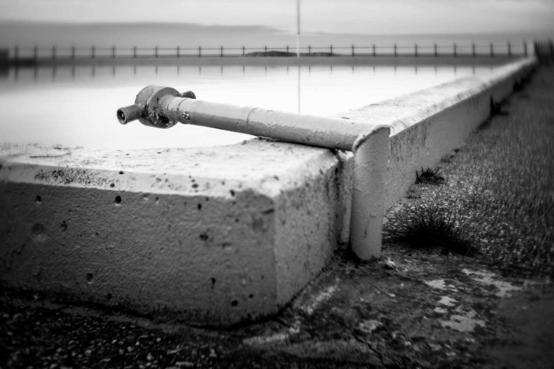
SJ 210 860 - West Kirby Marine Lake

This intersection is located close to the south-western corner of West Kirby Marine Lake.  In this image it is to the right of the "lamp stand" marker post (a navigation aid properly known as a "perch").  The Marine Lake was originally built by the Victorians in 1899 for swimming and recreational boating and was later extended in 1985 to its current size of 21 hectares (52 acres), making it the largest marine lake in the UK.

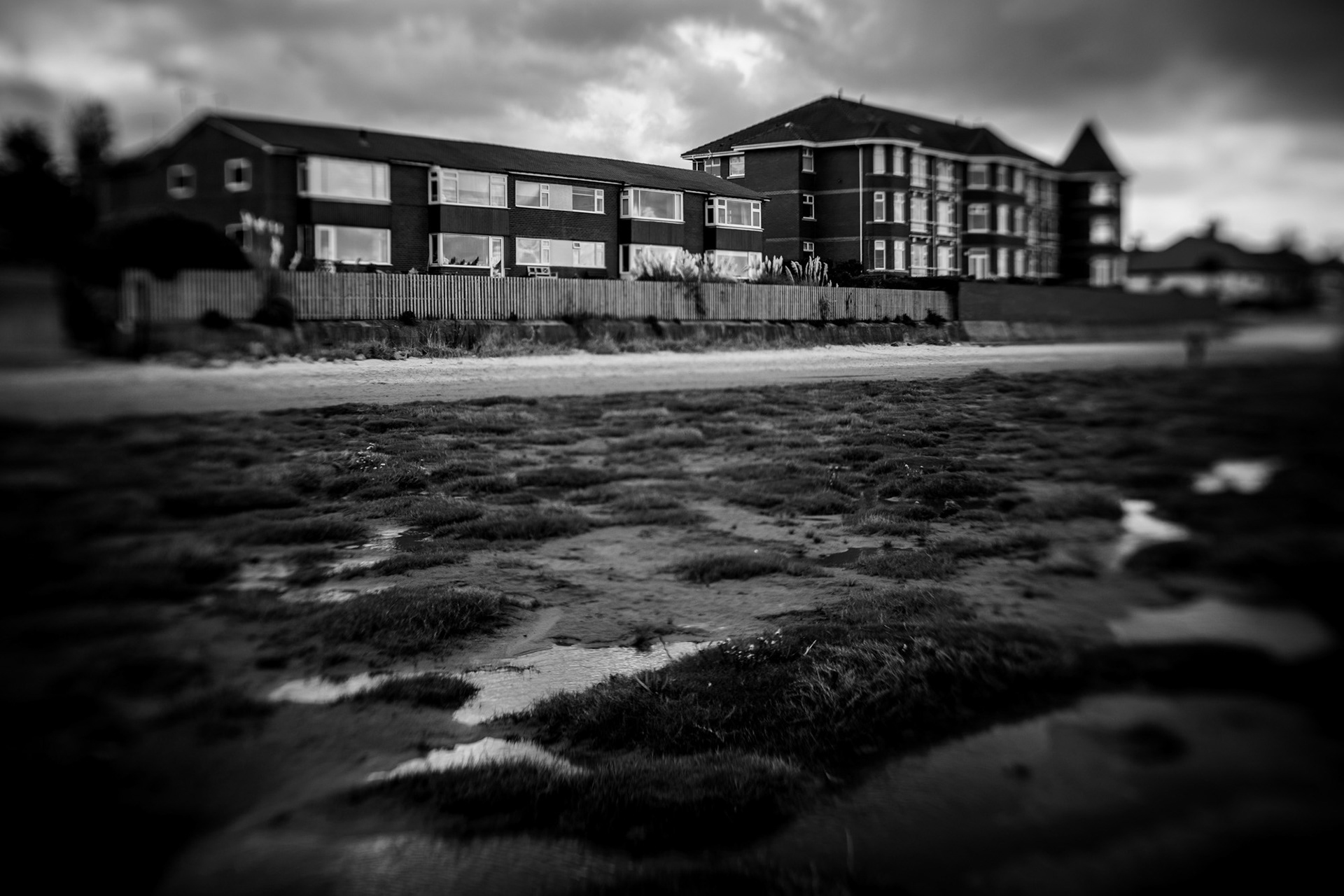
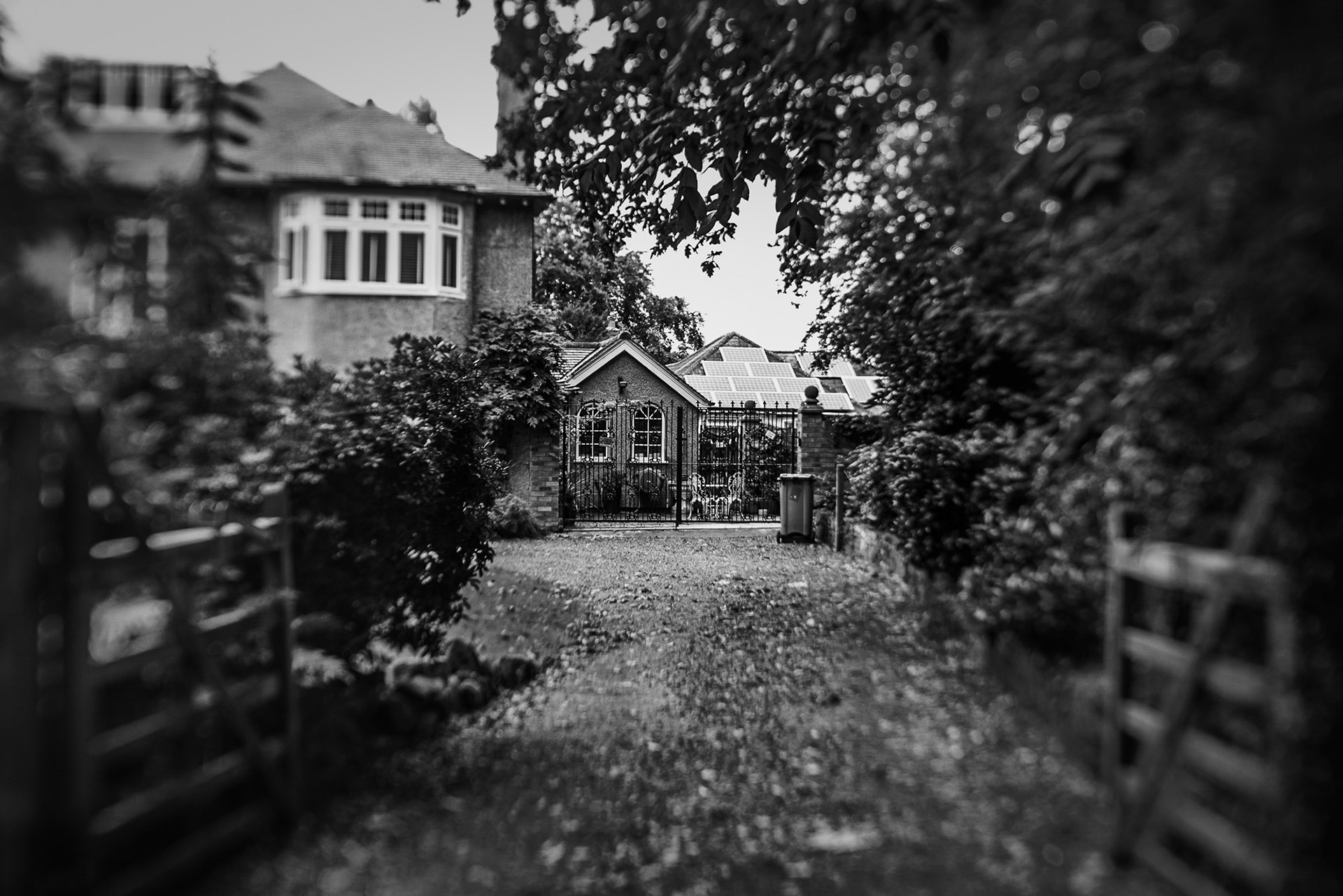
SJ 210 870 - Lingdale Court

Lingdale Court (the building in the left) is small complex of apartments overlooking West Kirby beach.  This image was taken from the beach shortly after the high tide, showing the growth of vegetation that has colonised parts of the beach in recent years.  The pools and dunes between here and Hoylake provide an ideal habitat for natterjack toads which are one of the UK's rarest - and loudest - species of amphibian.

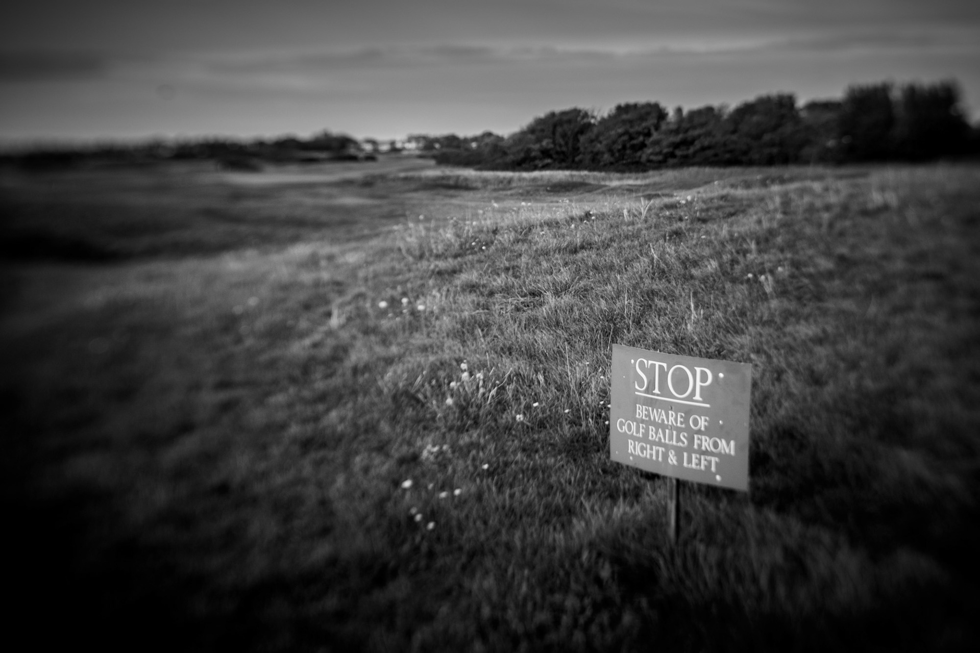
SJ 210 880 - Royal Liverpool Golf Club

The Royal Liverpool Golf Club, founded in 1869, lies on the eastern shores of the Dee Estuary between West Kirby and Hoylake.  The western side of the course features sand dunes that typify this stretch of coast.  Since its formation, the club has hosted The Open Championship - the oldest golf championship in the world - thirteen times and, as such, is one of the most used courses for the championship.   Despite its name, "The Open" is only open to male competitors and the Women's Open (founded in 1976) only came to the Royal Liverpool for the first time in 2012.   

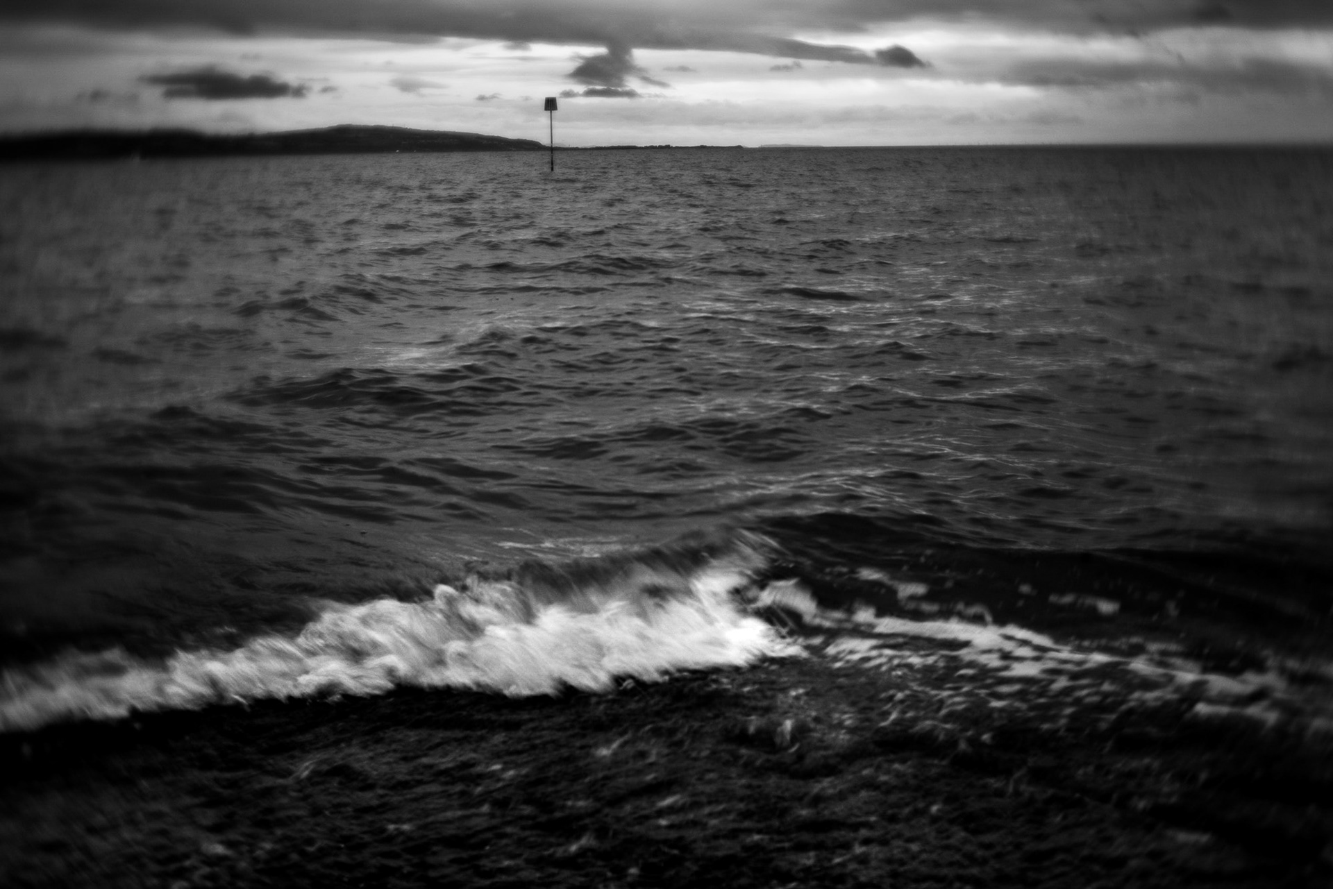
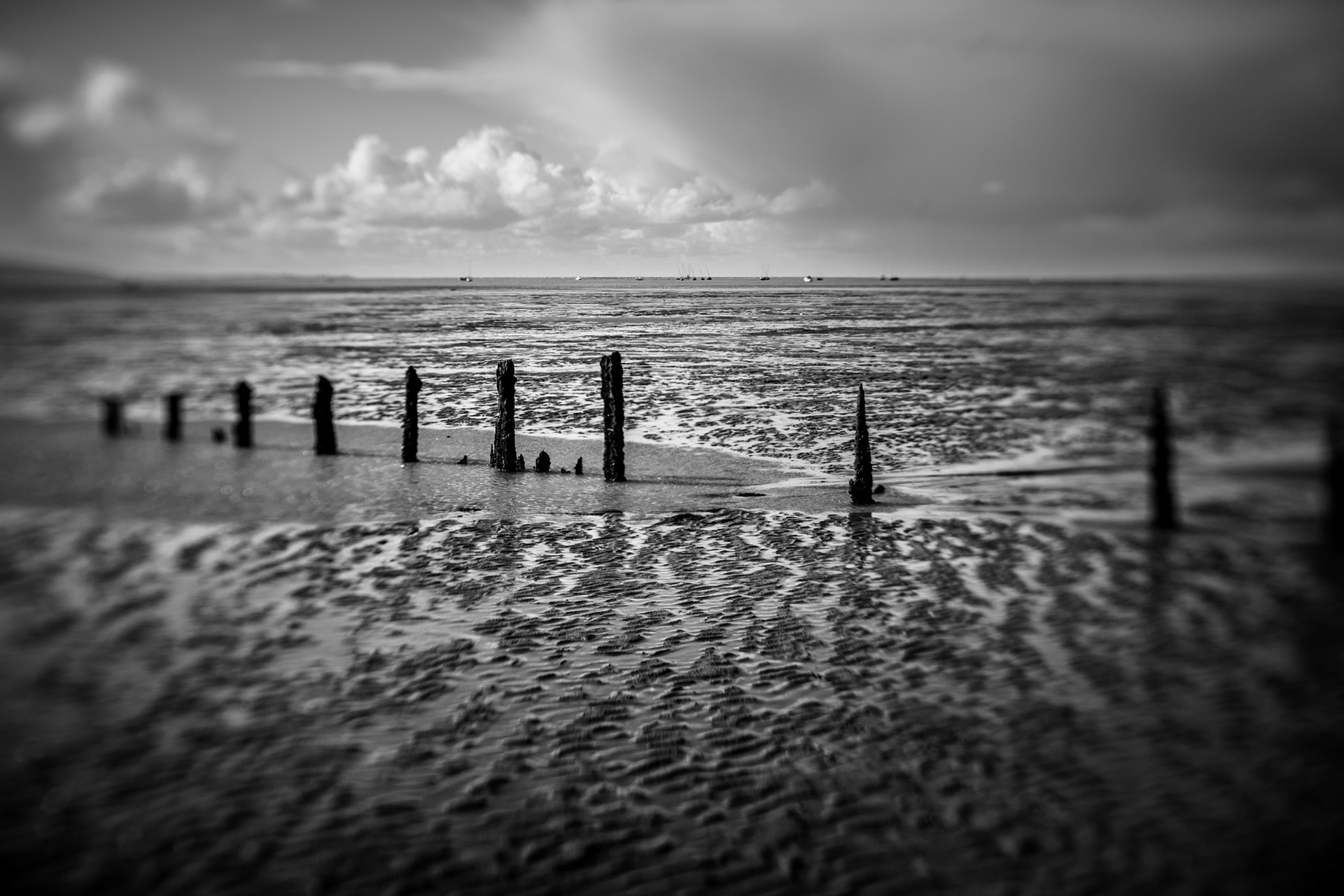
SJ 210 890 - Hoylake western shore

The north shore of the Wirral is currently undergoing significant habitat change as a result of coastal accretion i.e. the depositing of sand and silt from the Irish Sea and the River Dee.  As sea levels rise and deposits accumulate, what was once extensive sandy beaches is now being colonised by new plant and animal life.  It has been a highly contentious issue among local residents with two opposing camps which may be crudely characterised as "Save our Beach" and "Let nature take its course". This image shows some of the new vegetation at low tide.  The sea has ebbed away leaving puddles, many of which often remain throughout the low tide.  

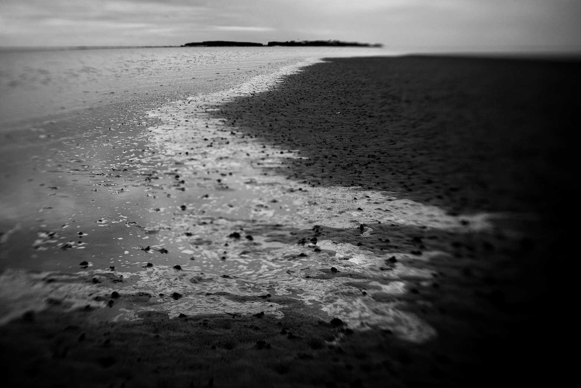
SJ 220 850 - Caldy Beach (1)

Caldy Beach lies on the west coast of the Wirral facing out across the estuary of the River Dee towards North Wales which can be seen in the distance.  In the foreground is a rusted metal tank that has been around long enough to become encrusted with barnacles.   On the rocks are growths of knotted wrack seaweed (aka Norwegian kelp) which is actually a variety of algae.  Knotted wrack features bladders filled with air and it is possible to tell its age by counting these as one bladder forms on each stem each year.  In the middle of the image an oystercatcher is just coming into land.  They are very common around the shores of the Wirral.

SJ 220 850 - Caldy Beach (2)

This is another image from the same location at Caldy Beach, taken a few metres away but with a different foreground.  I included it because I like both images and couldn't decide between them.

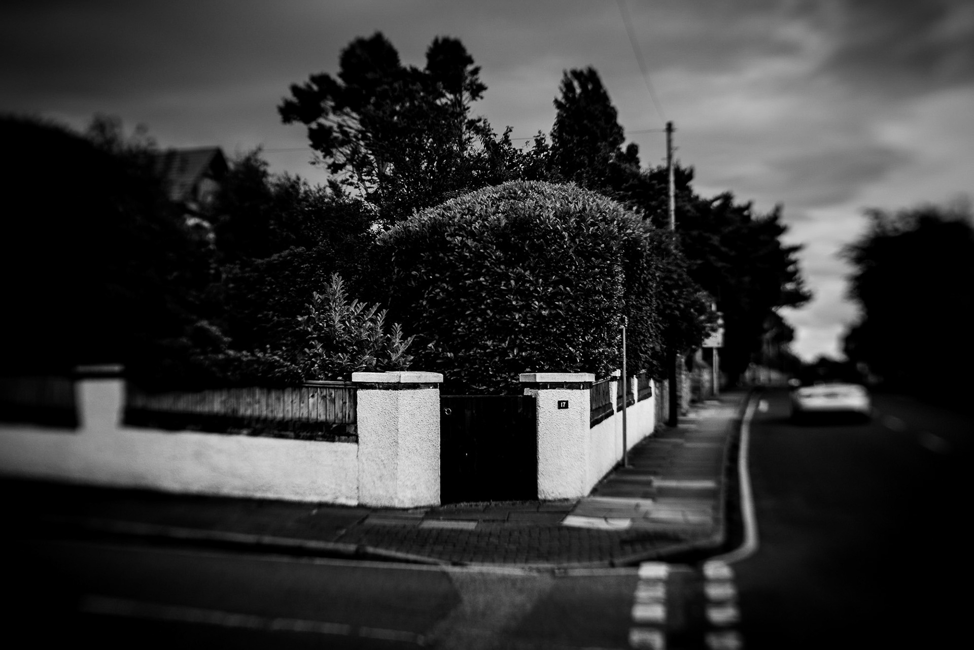
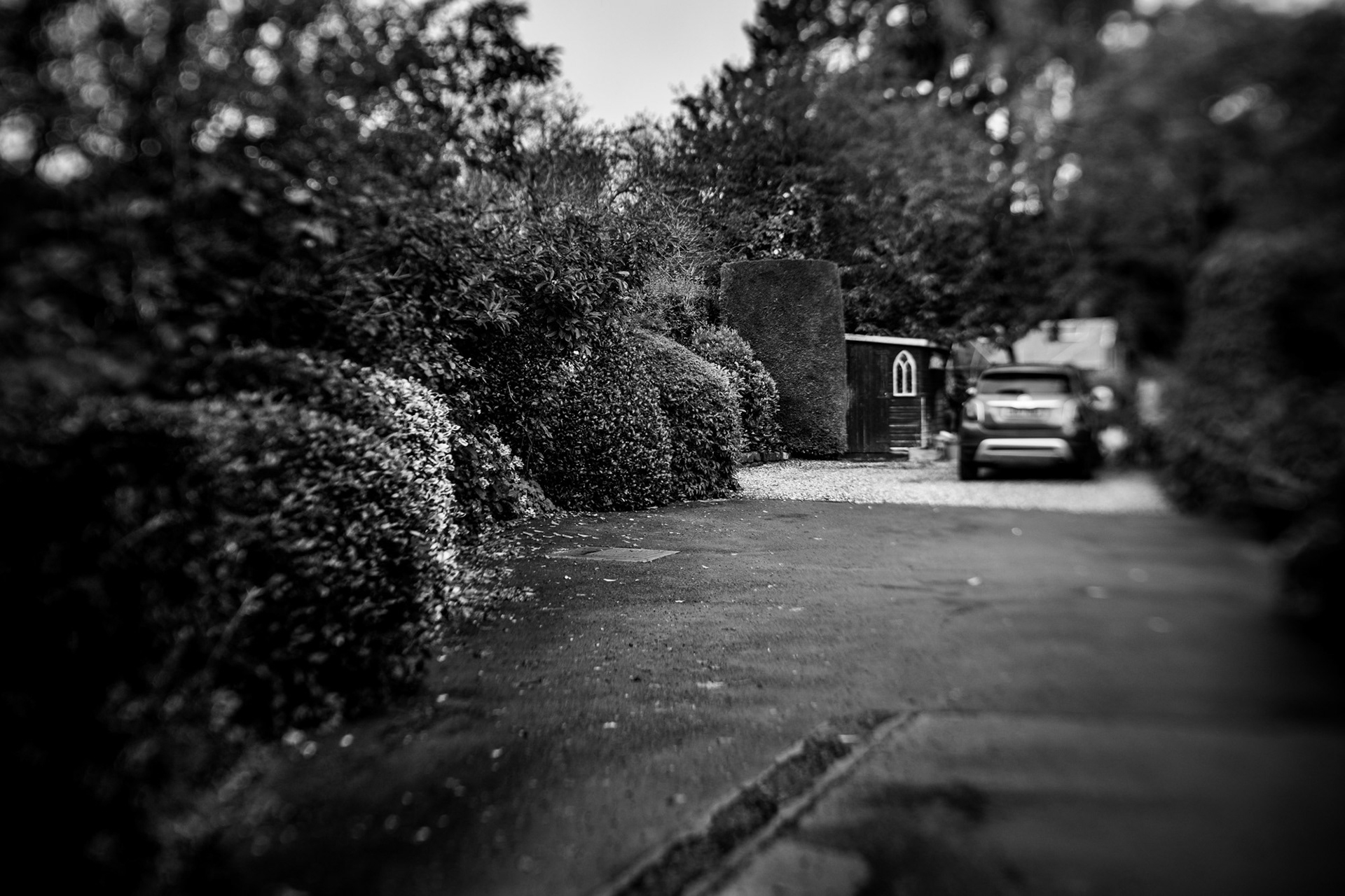
SJ 220 860 - Caldy Road

Caldy Road runs from West Kirby to Caldy which, until the 20th century when it became an upmarket residential area, was largely a farming village.  Much of Caldy Road is lined with walls built from the omni-present red sandstone. 

SJ 220 870 - Grange Hill

At 53m above sea level, Grange Hill is one of the high points on the Wirral Peninsula and, being topped with a 15m war memorial, it is visible from miles around.  The war memorial, erected in 1922 stands surrounded by a small area of heathland in which this location is found.  It is populated mainly by grass, heather, gorse and outcrops of the underlying sandstone and this image depicts an area of gorse that was burned in a recent fire. The extensive views from the hill include the Dee estuary and Hilbre islands, Anglesea (Ynys Môn), the Clwydian Hills, Liverpool Bay and the Sefton coast as well as other parts of north Wirral.

SJ 220 880 - north of Greenbank Road

The area of North Wirral bounded by Grange Hill to the  west, Bidston Hill to the east and the Irish Sea to the north is characterised by low-lying marshy land known as the carrs.  Drainage of these marshes is afforded by an extensive network drainage ditches, the earliest of which are thought to date back to Roman times.   One such ditch terminates at a pumping station on Greenbank Road from where water is pumped out to the Dee Estuary.  Intersection SJ 220 880 lies alongside this ditch where, for some reason, the ditch is separated from the adjacent field by a high barbed-wire fence.

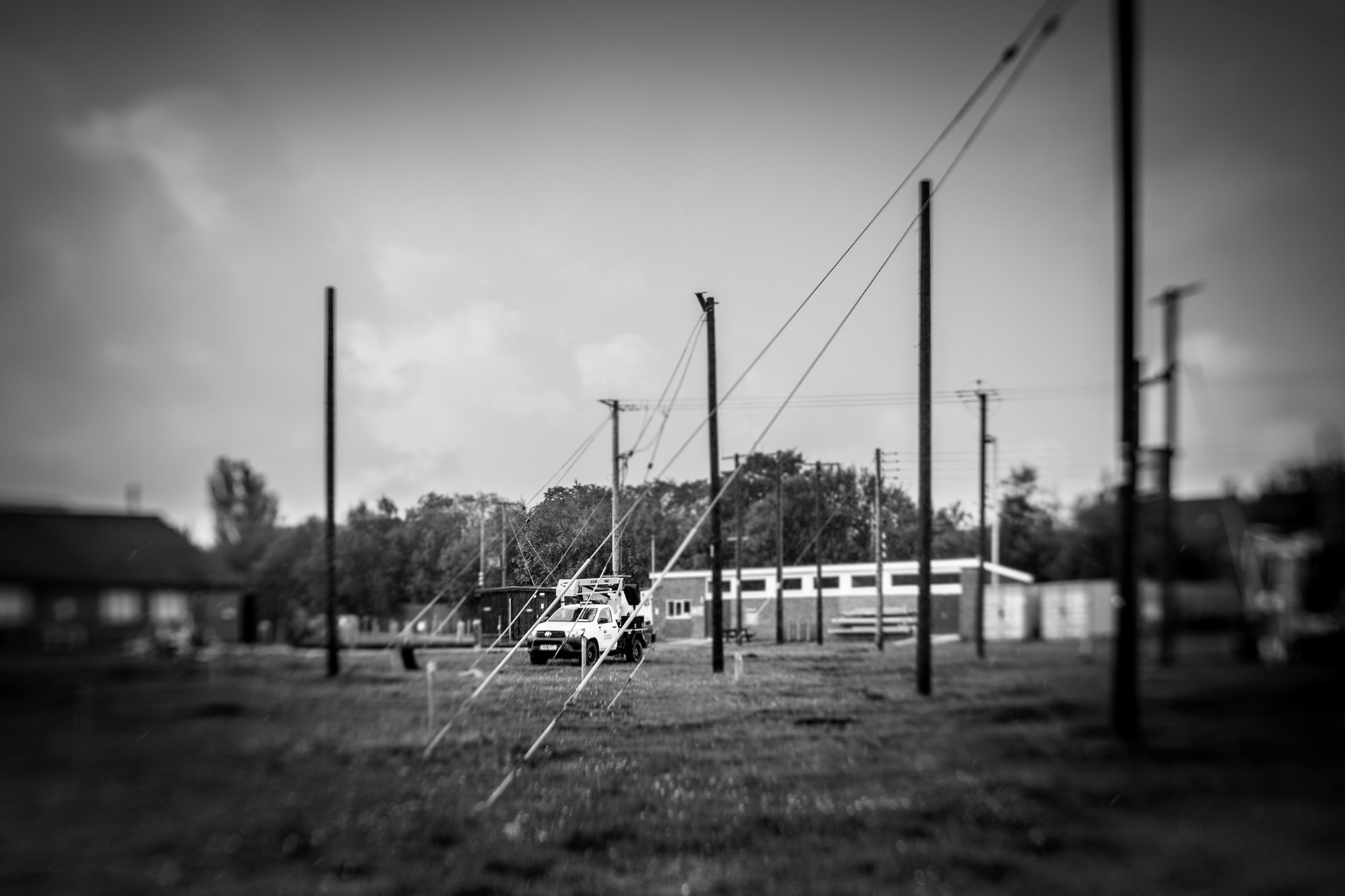
SJ 220 890 - Scottish Power

Scottish Power has a training centre in Hoylake where engineers are trained in such matters as electrical safety and wind turbine maintenance.  Despite its name, Scottish Power is no longer a Scottish company.  It was formed in 1990 through the merger of two publicly-owned electricity boards; North of Scotland Hydro-Electric Board and South of Scotland Electricity Board, privatised a year later and subsequently acquired by Spanish utility company Iberdrola.  In 2020 The Observer gave Scottish Power its Worst Customer Service award and in 2021 Which? magazine ranked it as the worst performing supplier for customer service. 

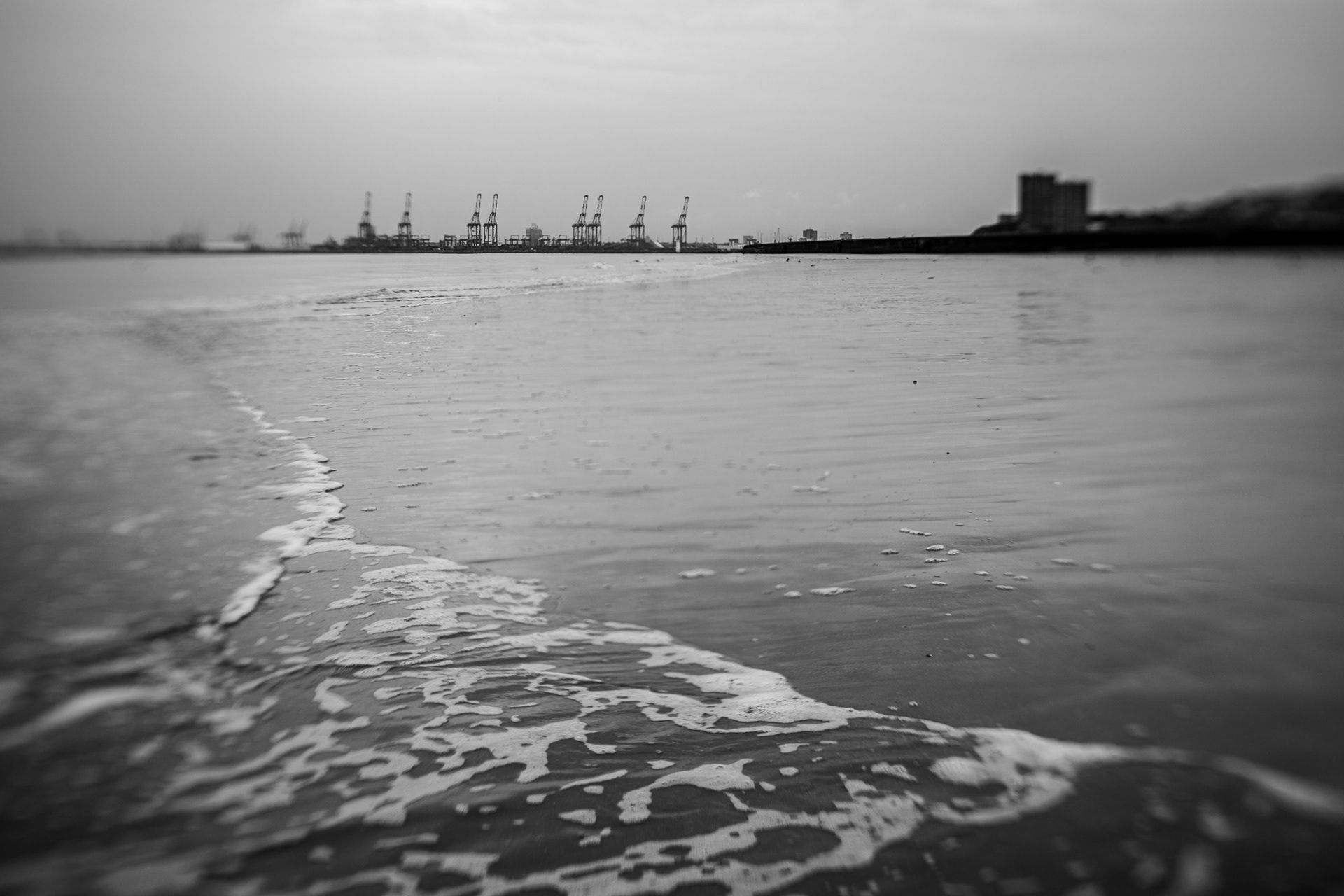
SJ 220 900 - Hoylake eastern shore

SJ 220 900 lies on the beach in the middle distance in this image, about 100m beyond the railings.  The scene there is similar to that at SJ 210 890.  In the foreground of this image is Hoylake Model Boating Lake which recently re-opened after significant repairs and refurbishment.  It had lain empty and unusable for several years.   

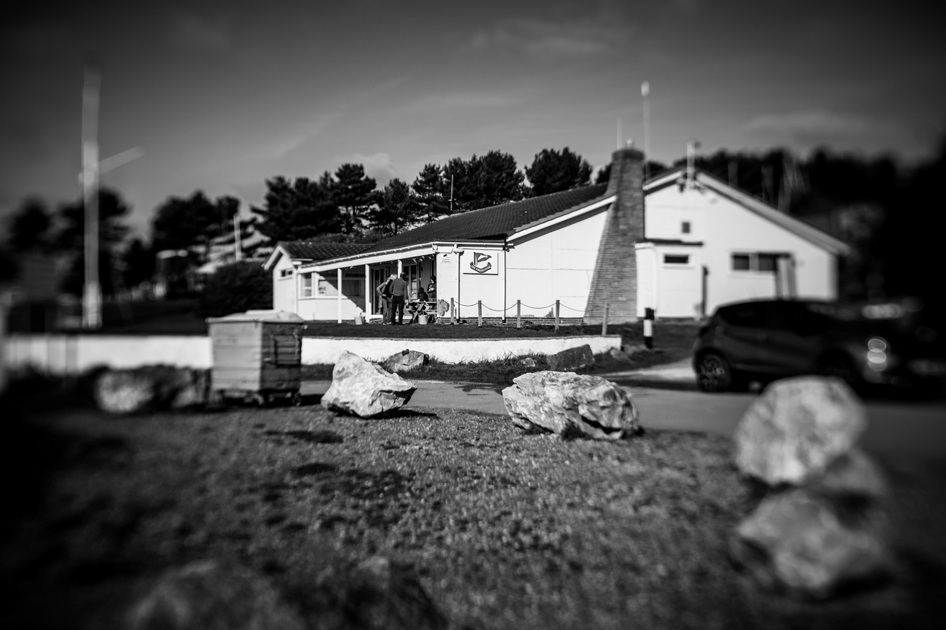
SJ 230 840 - Dee Sailing Club

Dee Sailing Club (DSC) is one of two sailing clubs on the west coast of the Wirral, the other being West Kirby Sailing Club.  Founded in 1909, DSC was originally named Heswall Sailing Club but changed its name three years later.  Its first club house was in Lower Heswall close to the site of the now closed Sheldrakes restaurant.  The estuary has silted up significantly since 1909 and in  1982 the club moved downstream towards the Irish Sea to its present day site at Thurstaston.

SJ 230 850 - Croft Drive East

This intersection lies within the private grounds of a residential property in Caldy, behind the high hedges to the left of the parked car.  Caldy features many detached houses in sizeable grounds and was described by the Liverpool Echo as "a millionaire's playground".  According to the Echo it is home to local celebrities and footballers including Liverpool and England player Robbie Fowler and former Everton and Liverpool manager Rafa Benitez.

SJ 230 860 - Kings Drive North

Kings Drive North is a short road leading south from Column Road towards Caldy Hill.  The road only goes for about 100m before turning into a bridleway which leads through the National Trust's Stapledon Woods to Caldy.  Caldy Hill at 79m is another of the highest hills on the Wirral.  Alongside Kings Drive North are a few residential properties, one of which is situated at this intersection. 

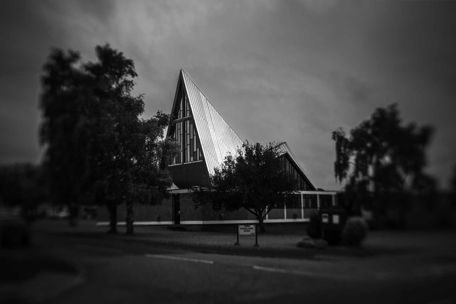
SJ 230 870 - St Michael of all Angels church

I was delighted when I found that this church lies at one of the gridline intersections as I had already photographed it previously as part of my work on modern architecture - see here.  It's a great building to photograph as not only is it very eye-catching but it can also  be successfully portrayed from several different angles.  

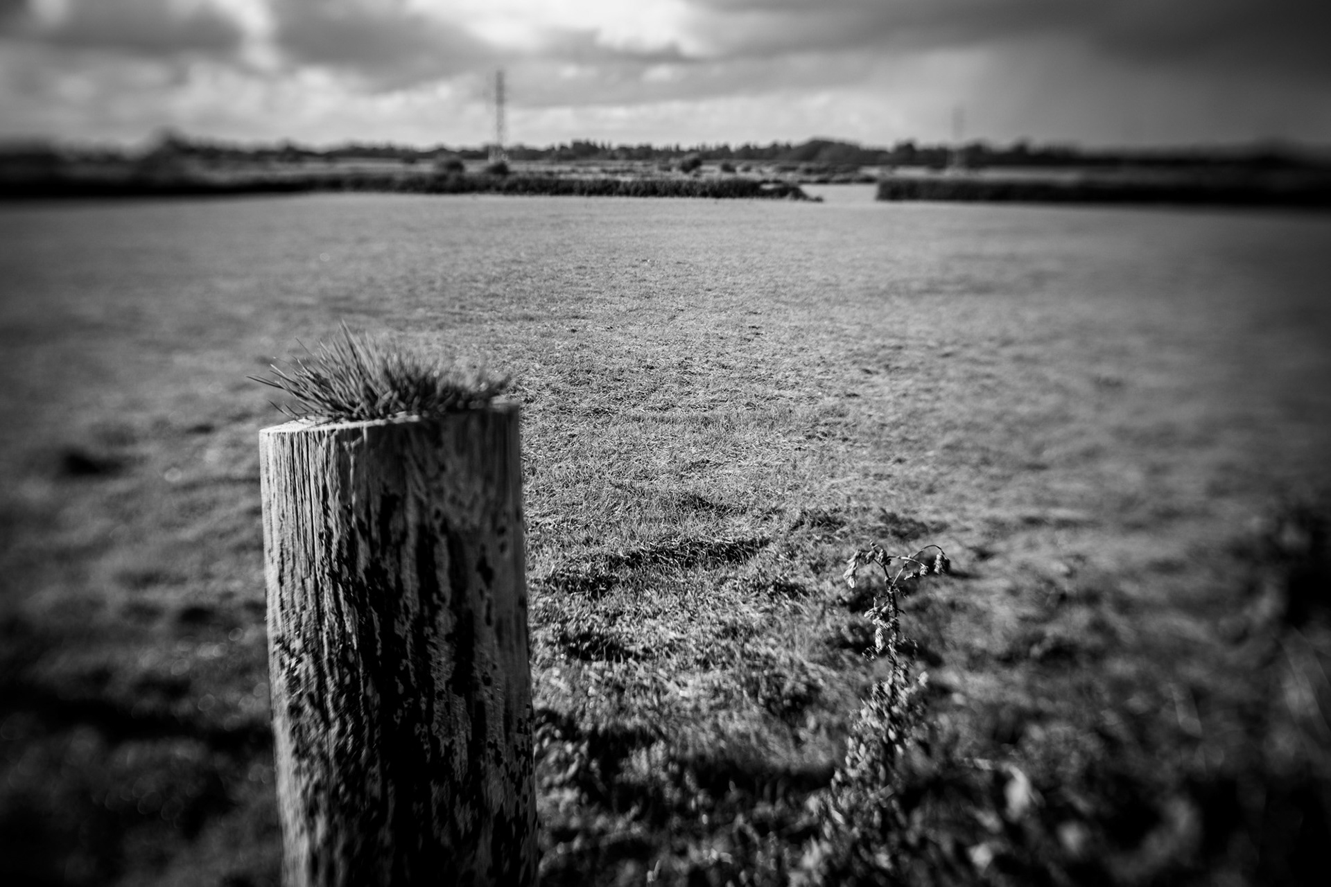
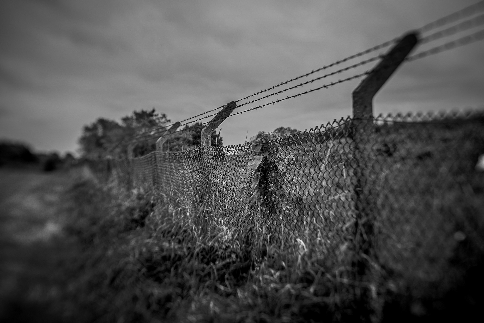
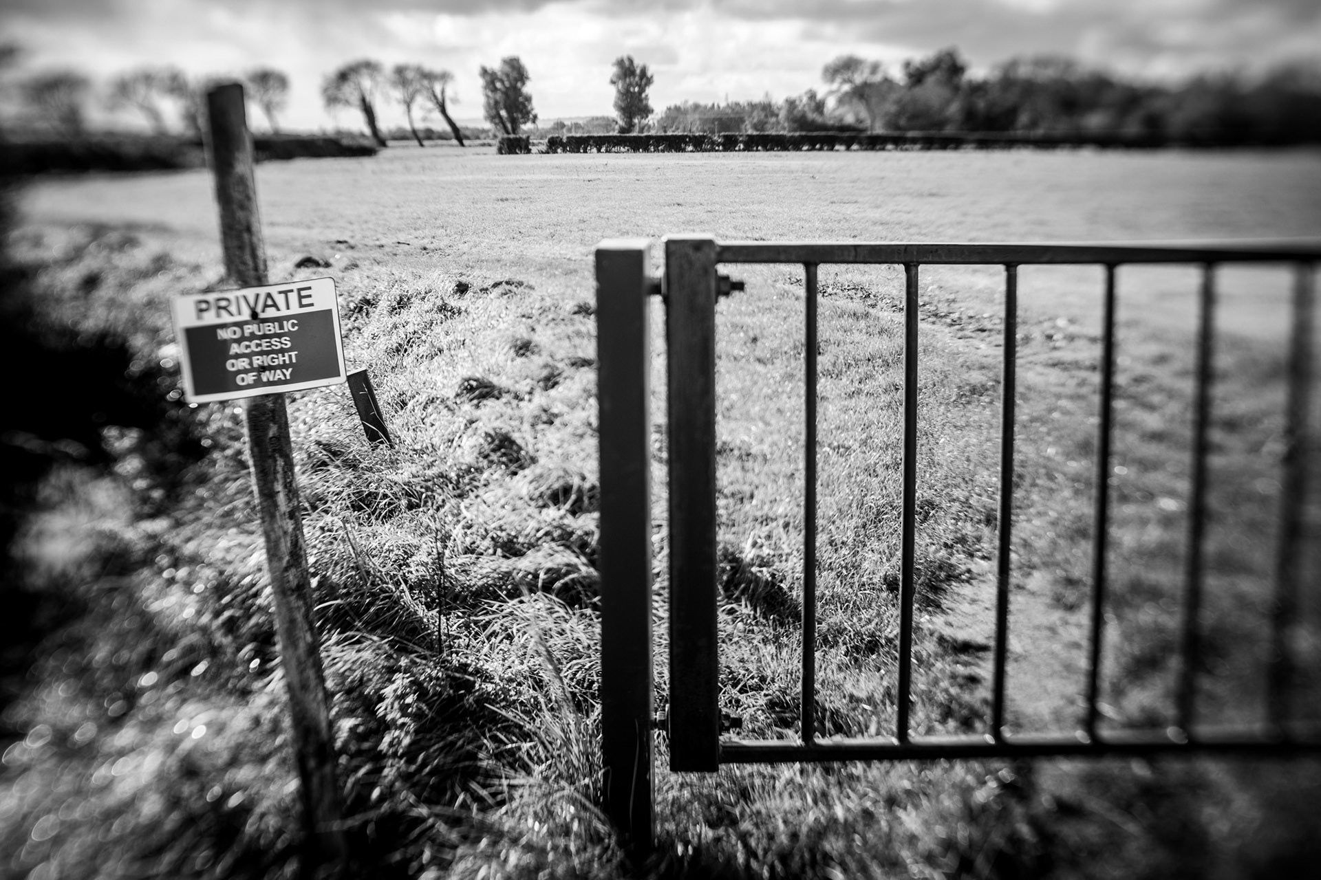
SJ 230 880 - Long Rake Farm

SJ 230 880 definitely wins the prize for least interesting intersection so far, lying as it does in the middle of unremarkable farm land to the north of Newton.  The actual intersection is close to the gap in the boundary on the far side of the field. In the distance can be seen the line of pylons that runs from Hoylake to Greasby.

SJ 230 890 - The Birket

SJ 230 890 is another intersection located on farm land, close to the far field boundary and before the line of trees in the distance.   Along the left hand side of the field runs the River Birket.  Barely a trickle at this point close to its source, the Birket begins as a drainage ditch serving the surrounding fields before running from west to east across much of the northern reaches of the Wirral.  Along the way it is joined by the "River" Fender and the more appropriately named Arrowe Brook and eventually discharges into the West Float in Birkenhead docks.  The sign in the image reminds us of the ridiculously restrictive land access rights that we have in England compared to Scotland's "right to roam" where the general public has access to the vast majority of land, regardless of its ownership.

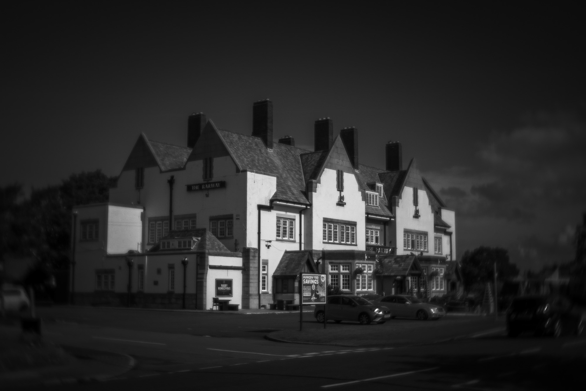
SJ 230 900 - The Railway pub

Apart from sitting exactly at this intersection, The Railway has another important claim to fame.  During its construction in 1938, workmen discovered the remains of a clinker-built boat - in the style of Viking ship building.  This would be consistent with the Wirral having been host to significant Viking populations from 902AD onwards.  Being on a tight schedule, the workmen were told to cover over the boat and keep building but one of them made a sketch of the boat and its location.  This sketch survives to today.  For more information see Wirral Archaeology CIC.

SJ 230 910 - Meals Beach

Along the north coast of the Wirral, from Hoylake to New Brighton are long flat beaches which form extensive sand and mud flats at low tide.  These habitats are important for seabirds and other wildlife and almost all the coast is covered by overlapping statutory designations including Sites of Special Scientific Interest (SSSIs), Special Protection Areas (SPAs) and Special Areas of Conservation (SACs).  As the tide ebbs and water recedes from this massive area, fast-flowing channels form that carve their way in attractive and ever-changing patterns out to the Irish Sea.    
FURTHER AFIELD
Below are images from other gridline intersections on the Wirral.  Who knows.... maybe one day I will have photographed the whole peninsula!​​​​​​​

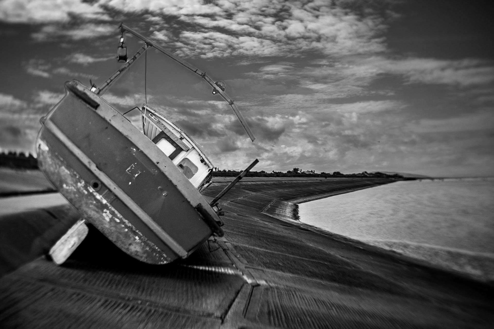
SJ 240 910 - Barry's boat / Meols Beach

According to extensive research and reliable sources (Facebook chit-chat), this boat - "Barry's Boat" - was washed ashore by Storm Gladys in February 2022 and has remained high-and-dry on the Wallasey Embankment, between Meals and Leasowe, ever since. The embankment was originally built during the 19th century to prevent flooding of the low-lying carrs to the south.  The current concrete embankment was built in the 1970s and 1980s.  The intersection can be seen on the embankment a couple of hundred metres in front of the boat.

SJ 290 940 - New Brighton

At the southwestern end of New Brighton Promenade (aka King's Parade) can be found one of several breakwaters that protect this shoreline from coastal erosion. Made from long lines of regularly-shaped concrete structures, they are popular with photographers and an example can be seen in my monochrome landscapes gallery.  Turning my back on these to face east, I took this photograph looking parallel to the shore towards the giant cranes that were installed in 2016 to expand the handling capacity of Liverpool Docks.  The intersection SJ 290 940 lies more-or-less in the centre of the frame. 
____________________________________________________________
​​​​​​​About the grid lines
A grid system for use in specifying geographical location in Great Britain was developed in the early 20th century by the Ordnance Survey (OS).  Ordnance Survey, the national mapping agency, has it roots in the Jacobite Rebellion of 1745 following which King George II commissioned the compilation of a map of the Highlands in order to assist the British army in subjugation of the clans.  As mapping developed in Britain, whilst still heavily relied upon for military purposes, its applications broadened to also encompass civil and fiscal functions such as taxation and planning.  In 1935 a review by the Davidson Committee determined that a grid system should be introduced to enable the precise specification of locations. With an eye to a metric future, it was agreed that the grid should be based on 1km squares.  The Davidson Review also led to the erection of triangulation pillars (commonly known as “trig points”) on prominent hills and mountains to assist in further mapping of the land.

Back to Top